
Phone: 0800 500 330 - Email: admin@subsurfacedetection.co.nz
Mapping Utilities
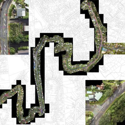
A GPS survey provides a 2D plan of the site based on aerial imagery from council GIS data,with GPR/EMI surveyed service lines plotted using GPS positioning. Deliverables will be in PDF/CAD/GIS format.
Sorry, comments are closed for this post.